BHUVAN Portal- BHUVAN Panchayat for UPSC
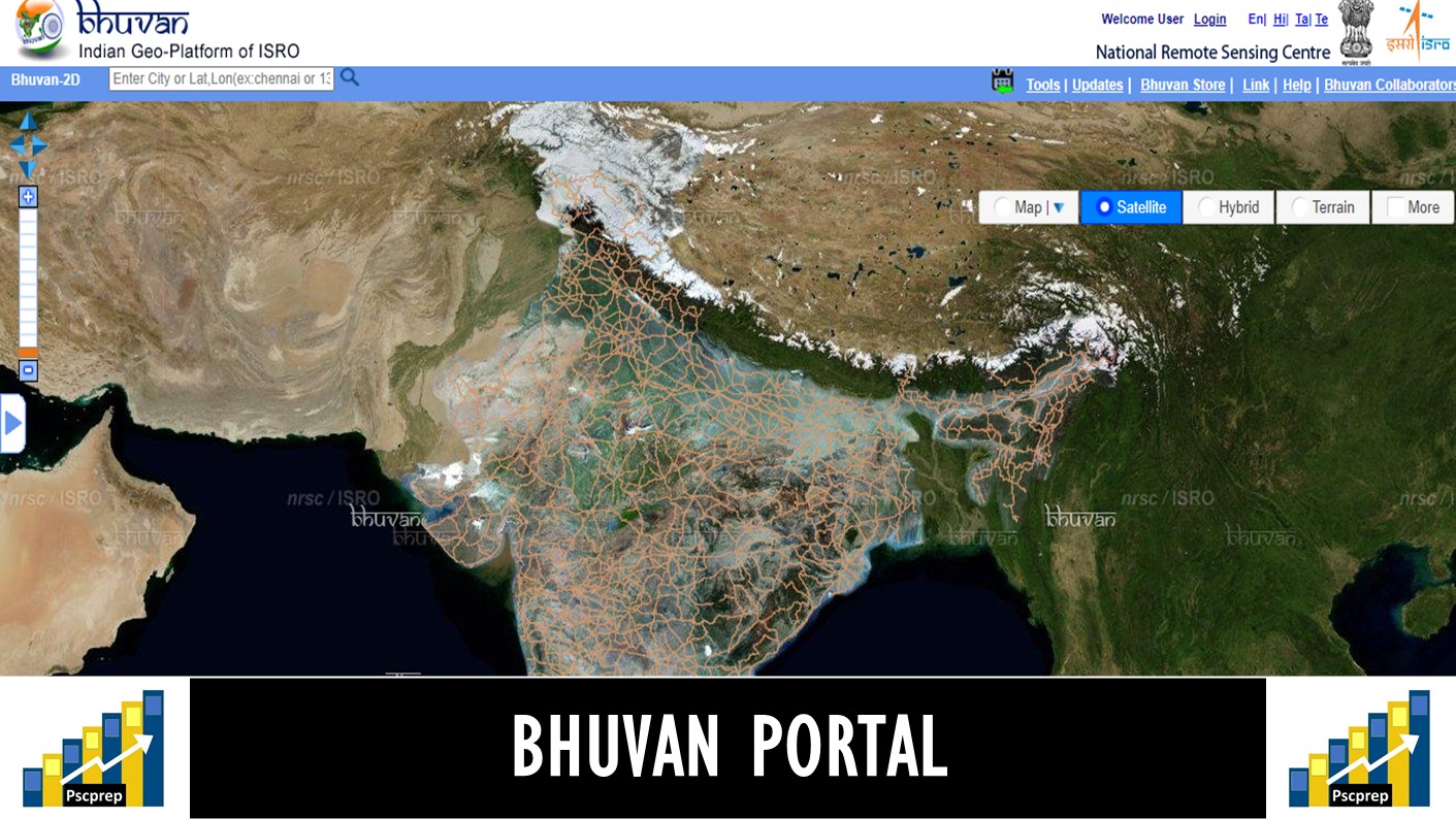
BHUVAN Portal: Overview
BHUVAN is a multi-purpose end-user satellite application platform. It was launched in 2009 and is powered by the Indian Space Research Organization (ISRO). This software application allows the users to explore a 2D/3D representation of the surface of the Earth. It acts as a Geoportal of ISRO, allowing host of services covering visualization, free data download, thematic map display and analysis, timely information on disaster and project specific GIS applications.
BHUVAN Portal: Details
BHUVAN acts as a clearing house for satellite data integrating and processing ground inputs with the help of satellite data for various different needs. The portal is also designed to run on slow Internet connections. The browser is specifically tailored to view India, offering the highest resolution in the region. It offers detailed imagery of Indian locations compared to other Virtual Globe Software, with spatial resolutions ranging up to 1 metre. Due to security concerns, the images available do not include any military installations in India. The content is provided in four local languages viz. English, Hindi, Tamil and Telugu.
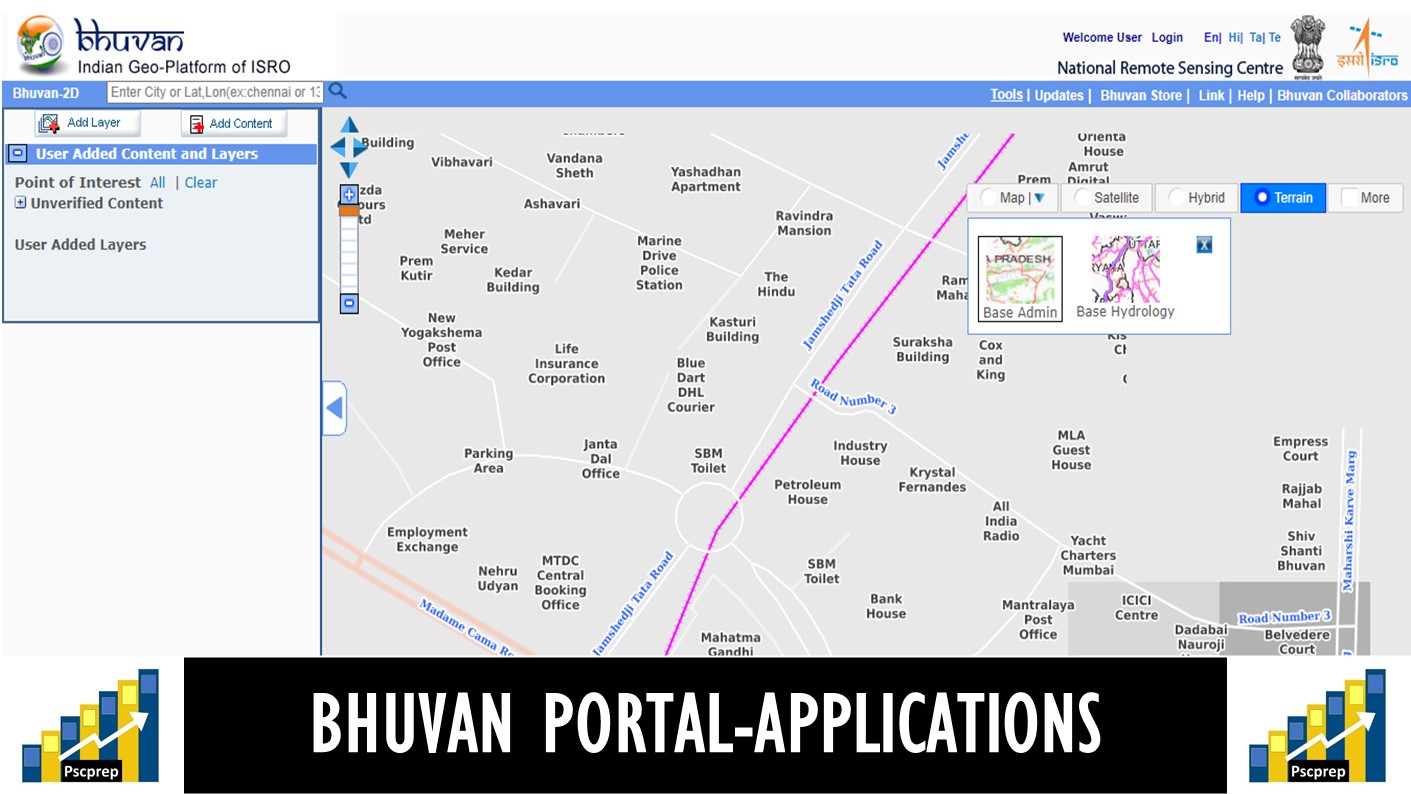
BHUVAN Portal: Applications
Bhuvan, as a platform, is open and can be used by a diverse user community such as Central and State Governments Departments, Academia and Industry. Few examples are:
ENVIS program of Ministry of Environment, Forests & Climate Change
Environmental Information System (ENVIS) program was started in December, 1982 to provide environmental information to decision makers, policy planners, scientists and engineers, research workers, etc. all over the country. ENVIS has started implementing the World Bank assisted Environment Management Capacity Building Technical Assistance Project (EMCBTAP) since January, 2002 which aims at structuring the ENVIS scheme by extending its reach through involvement of Institutions/Organizations in State Governments, academia sector, corporate sector, NGO sector, etc.
Srishti-Drishti: An Integrated Watershed Development Program
The Department of Land Resources in partnership with National Remote Sensing Centre, ISRO has developed a web geo portal ‘Srishti’ for monitoring the Integrated Watershed Management Programme (a component of Pradhan Mantri Krishi Sinchai Yojana). A mobile app ‘Drishti’ was also developed to integrate field level activities and its monitoring with the help of Bhuvan Portal.
All the assets created under Mahatma Gandhi National Rural Employment Guarantee Act (MGNREGA) in each gram panchayat are to be geo-tagged with the help of BHUVAN. A Memorandum of Understanding has been signed between the Union Rural Development Ministry and the Department of space, ISRO in this direction.
“BHUVAN-GAIL” a geo-portal system for utilizing the space technology for pipeline monitoring and for addressing the pipeline safety concerns has been launched by Gas India Limited (GAIL)
With the objective of capturing every field-level irrigation network including dams/barrages, main and field channels, etc. and mark every irrigation structure on satellite visualisation tool, the Telangana Irrigation Department has signed MOU with the ISRO for setting up a Telangana Water Resources Information System (TWRIS) on the BHUVAN web portal.
Bhuvan Ganga: Enables people participation in providing vital information for Clean Ganga project
Bhuvan-Bhujal: Ground Water Prospects Information System
School Bhuvan: An e-learning portal for the students

BHUVAN Panchayat
BHUVAN Panchayat: Overview
Recently an upgraded geo-imaging web portal, Bhuvan Panchayat 3.0 was launched during the National Workshop on “Space-based Information Support for Decentralised Planning-2”. The launch is part of the advanced Space-based Information Support for Decentralised Planning (SISDP) project. The SISDP was launched in 2011 and its first phase of making databases was completed in 2017.Bhuvan Panchayats is facilitating decentralised planning at grassroot level. E.g.: It is possible for rural planners to plan and locate a healthcare unit, water harvesting, rural communication network even as they sit in panchayat offices.
BHUVAN Panchayat: Details
The portal uses high-resolution data from recent earth observation satellites and offers detailed information to panchayats about their key assets. For the first time, the thematic maps of 1:10,000 scale have been generated based on high-resolution data given by Indian Space Research Organisation’s (ISRO) new earth observation satellites.
BHUVAN Panchayat : Governance: Bhuvan Panchayat is jointly implemented by the Ministry of Panchayati Raj and Department of Space, ISRO.
BHUVAN Panchayat: Advantages
Empowering the Panchayats: The workshop addressed modalities and mechanisms that would be adopted to empower the local bodies in utilizing the space technology in the form of simple-to-use maps, location based services through Navigation in Indian Constellation (NavIC) and high resolution space images based local tools to enable the panchayats with modern technology for sustainable development.
Technology and Governance: The Panchayati Raj institutions could effectively use space technology for planning, implementation, monitoring and management of resources, including governance.
Digital India: It can also prove to be an important component for “Digital India” platform for reaching digital thematic maps to about 2.56 Lakh Gram panchayats in the country.

Read more and visit the portal here: https://bhuvan.nrsc.gov.in/bhuvan_links.php#
Read more about: Indian Space Program
Read more about: Indian Nuclear Program
Read more about: Ayushman Bharat : Pradhan Mantri Jan Arogya Yojana (PMJAY)
Read more about: NMEICT-ePathshala-SWAYAM-SWAYAMPrabha-National Digital Library-Spoken Tutorial-FOSSEE-Virtual Lab-EYantra-NROER-SARANSH