Difference between Bhabhar and Terai regions
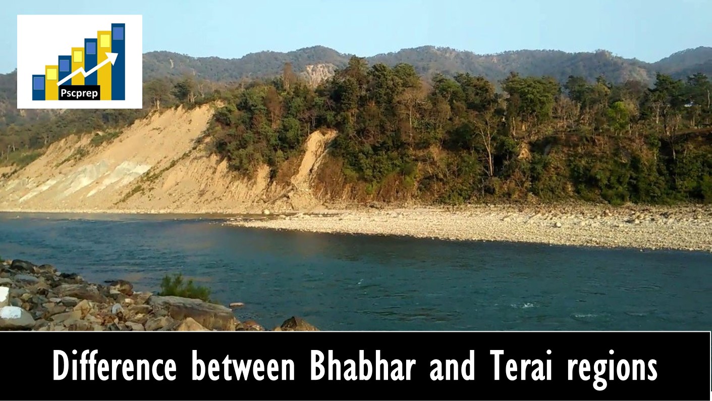
Difference between Bhabhar and Terai regions(Details of Bhabar region): Bhabar is a region south of the Lower Himalayas and the Sivalik Hills in Uttarakhand state of India. It is the gently-sloping coarse alluvial zone below the Sivalik Hills (outermost foothills of the Himalayas) where streams disappear into permeable sediments. The width ranges between 8 to 16 km. The area is highly coarse in nature due to many pebbles and ‘kankars’ found over here. Vegetation found here is very less. Main feature is that river disappears in the Bhabar region because big pores are present in it. The underground water level is deep in this region, then rises to the surface in the Terai below where coarse alluvium gives way to less permeable silt and clay. Bhabar is characterised by coarse gravel and shingle deposits supporting sal (Shorea robusta) forests.
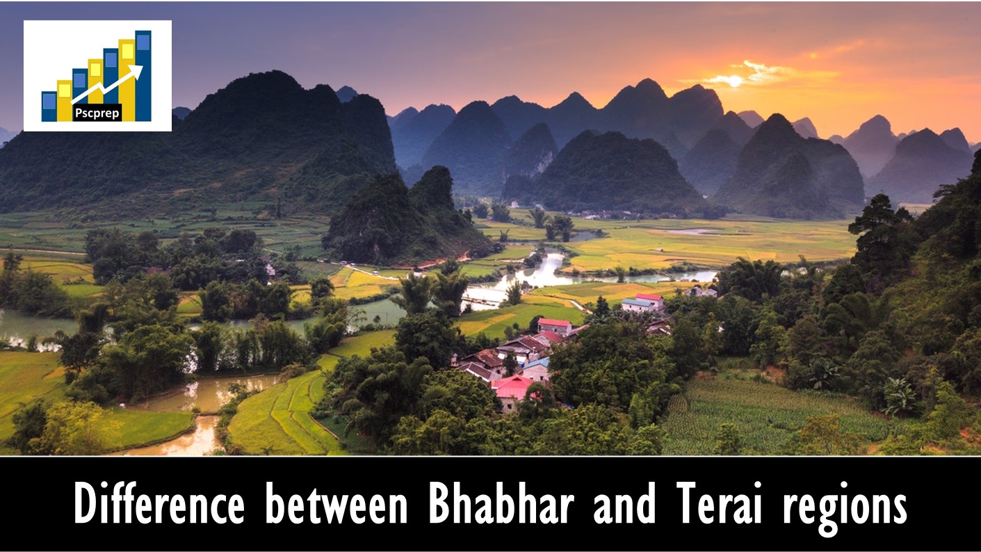
Difference between Bhabhar and Terai regions(Details of Terai region): The Terai (meaning “Moist Land”) is a lowland region in northern India and southern Nepal that lies south of the outer foothills of the Himalayas, the Sivalik Hills, and north of the Indo-Gangetic Plain. It spreads from the Yamuna River eastward across Haryana, Uttarakhand, Uttar Pradesh, Bihar and West Bengal. The belt exists to the south of Bhabar area. It is almost parallel to the Bhabar. The area has got highly fine sediments due to the deposition made by several streams. Very dense vegetation is found in Terai region. Since the river re-emerges back in this region, the area becomes highly swampy and marshy. This lowland belt is characterised by tall grasslands, scrub savannah, sal forests and clay rich swamps. The Terai is part the Terai-Duar savanna and grasslands ecoregion. The corresponding lowland region West Bengal, Bangladesh, Bhutan and Assam in the Brahmaputra River basin is called ‘Dooars. A strip of undulating former marshland, it stretches from the Yamuna River in the west to the Brahmaputra River in the east. At its northern edge are numerous springs forming several streams, including the important Ghaghara River, that intersect and are responsible for its marshy character.
Difference between Bhabhar and Terai regions (In Points)
BHABAR :
- It lies along the foot of the Shiwaliks from the Indus to the Tista.
- It is 8 to 16 kms wide.
- It comprises of pebble- studded rocks in the shape of porus beds.
- Due to porosity of the rocks, the streams disappear and flow underground.
- This region is not much suitable for agriculture.
TERAI :
- It lies to the south of the Bhabar and run parallel to it.
- It is 20 to 30 kms wide.
- It is composed of comparatively finer alluvium and is covered by forests.
- The underground streams of the Bhabar re-emerge on the surface and give birth to marshy area.
- Most parts of the Tarai area are reclaimed for agriculture.

Read more about: Differences between NELP and HELP
Read more about: Differences between money bill and ordinary bill
Read more about: Difference between Eastern Ghats and Western Ghats
Read more about:Differences between Eastern and Western Coastal Plains
Tags: Difference between Bhabhar and Terai
Tags: Difference between Bhabhar and Terai-Pointers
Tags: Difference between Bhabhar and Terai-UPSC/State PCS